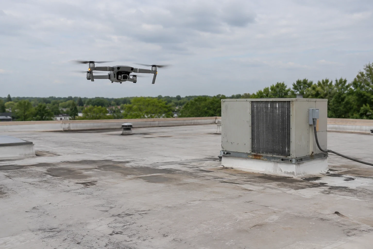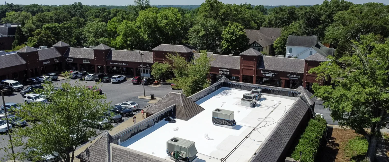
Aerial images can cover a roof area that would take longer to view from multiple access points. They help locate visible changes, map equipment and drainage patterns, and record areas that are difficult to reach. A drone does not test a seam or confirm moisture below the membrane. We use the images to decide where a hands-on inspection or other test should follow.
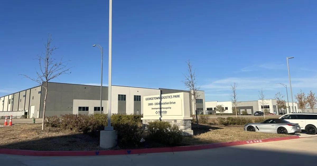
For a commercial building in Georgetown, TX, the flight plan starts with the roof layout, site activity, airspace limits, and the reason for the review. NorthPark35 and Georgetown Logistics Park reflect the city’s industrial growth, where broad roof areas can have multiple sections, equipment zones, and active loading operations. We coordinate with the site contact so image capture does not disrupt vehicle or pedestrian routes.
Before launch, we confirm the property contact, roof sections, nearby activity, and any restricted areas. The operator checks wind, visibility, and flight conditions. Poor weather or light may reduce image quality. So we reschedule or use another method when needed.
Georgetown’s I-35 and SH 130 industrial areas include commercial and distribution activity. But a route is set for each property. We identify loading zones, roof edges near occupied areas, and the ground area needed for takeoff and landing. The site contact can flag deliveries, shift changes, or sensitive operations so the flight path and capture window account for them.
We also decide which images the inspection needs. Overhead images can show roof sections and drainage layout. Lower-angle passes may document parapets, equipment screens, or edges where permitted. The goal is a usable surface record.
Images are reviewed for visible changes such as displaced edge metal, debris accumulation, open-looking laps, damaged flashing, ponding evidence, and rooftop equipment movement. We compare related areas rather than treating one image as a diagnosis. Shadow, glare, surface color, and viewing angle can change how a condition appears. So uncertain findings are marked for closer review.
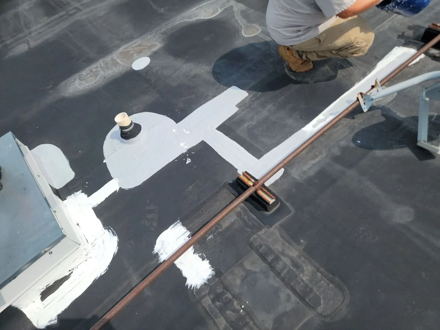
On a large roof, the image set can help divide the field into named sections. We can identify drain groups, equipment clusters, expansion joints, and visible repair patches. We then connect those features to a roof plan or site reference. This helps a facility manager direct a later crew to the right area and compare future images from a similar angle.
Aerial views are especially useful when roof access is controlled or when several connected sections need an initial visual record. They do not show concealed insulation, confirm attachment, measure seam strength, or establish that a system is dry. If the review finds signs that merit closer work, we recommend an appropriate follow-up rather than treating the image as a final answer.
The image review identifies where a technician should go next. A visible open seam may call for a hands-on check of the lap and nearby substrate. A dark area may be shadow, staining, or retained moisture; the image alone cannot distinguish those conditions. We record the uncertainty. We select a ground-level, roof-level, or interior review that can answer the remaining question.
When images show a reported leak area, we compare the roof location with interior information from the building contact. Water may travel before it appears indoors. A follow-up leak tracing visit can inspect the suspected entry and adjacent details. If the opening is active and weather-sensitive, the contact can discuss temporary protection while permanent work is planned.
For possible moisture beneath the surface, a moisture survey uses a different method and has its own conditions for reliable readings. Core cuts or other testing may be needed to confirm results. We explain each step before scheduling more work.
The NWS event file traces a 2022 tornado from near the I-35 and TX 45 interchange, across Williamson County, and toward Granger. It also catalogs hail events across the Austin and San Antonio forecast area. Those events make post-storm roof documentation useful. But they do not establish what happened to a particular roof. The flight records visible conditions on its date and location.
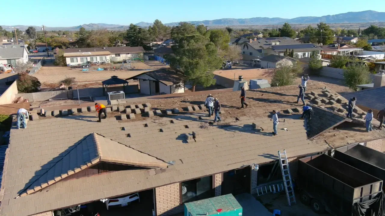
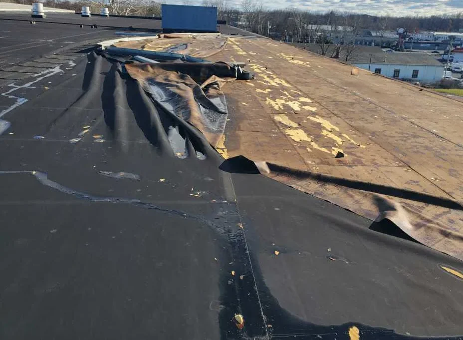
After severe weather, aerial images can help show the distribution of displaced material, debris, or visible punctures across a broad roof. We compare the capture with reported interior conditions and any prior roof plan or photos that the owner provides. A shadow or surface mark is not assigned a cause without a closer view or supporting evidence.
If the review points to possible event-related damage, a hail assessment or a tornado damage inspection can document the next level of detail. The drone record supports that work by locating areas for review. It does not replace a hands-on inspection or determine insurance coverage.
The deliverable should help someone make a roof decision. We organize selected images by roof section and label visible conditions that warrant follow-up. The summary states the date, areas captured, flight limitations, and any roof sections that were obscured or not reached. We avoid describing an unseen condition as confirmed.
A facility team may use the record to assign a repair visit, prepare for an inspection, or add reference images to its maintenance file. If a condition is visible but its cause is unclear, we describe what the image shows and what would verify it. The next step may be a roof walk, moisture testing, or review with another building trade.
For a multi-building operation near Georgetown Logistics Park, image labels can distinguish buildings and roof sections without substituting a property list for inspection findings. A roof condition report can bring photos and follow-up priorities into one record. We review the findings with the designated contact and agree on which areas need a closer look.
Drone imaging works best when the question is clear. A broad visual baseline, a hard-to-access edge, or a post-storm overview may justify aerial capture. A leak diagnosis, seam repair, or moisture determination usually needs a closer method. We match the tool to the decision and explain where the image review stops.
If the next step is a hands-on roof inspection, the image set can guide the route and call out roof zones to check. For a warehouse roof, that coordination can help keep the review focused on dock edges, equipment areas, and access boundaries identified by the site team. The actual findings still come from conditions observed during the visit.
Send the roof plan if available, identify the person who can authorize access, and describe the question the images need to answer. We will confirm whether a drone flight fits the site and conditions. We then return a labeled record with any recommended field checks.
Images can document broad surface layout, visible debris, equipment placement, drainage patterns, edge conditions, and areas that merit a closer look. Their usefulness depends on weather, light, viewing angle, and access. The review identifies visible conditions and limitations rather than diagnosing concealed components.
No. Standard aerial images show surface appearance, not moisture below the membrane. A dark patch or color change may have several causes. If moisture is the question, we can discuss infrared imaging and confirmation methods suited to the roof conditions.
Aerial capture is useful for broad visual coverage. But it cannot test seams, inspect concealed details, or verify attachment. We use the image set to plan a hands-on visit where the condition requires touch, measurement, or closer confirmation.
Wind, rain, poor visibility, unsafe ground access, nearby activity, or a flight restriction may require a different window. We review conditions before launch and tell the site contact if the planned coverage needs to change.
They can preserve a dated view of visible roof conditions and help locate areas for closer inspection. Images do not prove when damage occurred or determine a claim. We describe what is visible and recommend field verification for uncertain conditions.